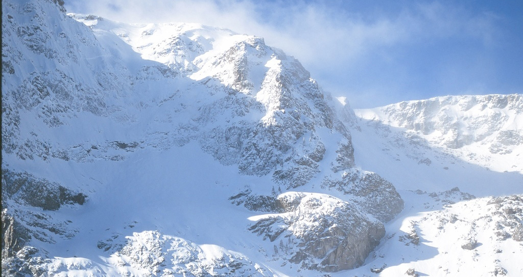
 Snow on the Continental Divide, Rocky Mountain National Park, 2008.
NASA is keeping track of dust that settles on snow in the Rocky Mountains to help hydrologists improve their predictions for how fast the Colorado River will rise this spring.
Michelle Stokes, a hydrologist for the Colorado River Basin Forecast Center in Utah, said the data will help her project how much snowmelt will flow into the Colorado River and when it will arrive.
“It’s been known for a long time that if there’s a lot of dust on the snow it’s going to melt faster,” Stokes said. “We always thought it would be really nice if we could quantify that, because it would improve our forecast, especially the timing of when the runoff comes.”
Stokes teamed up with Tom Painter of NASA’s Jet Propulsion Laboratory in California. Painter uses satellites to measure the dustiness of snow on a daily basis. A blanket of dust absorbs more sunlight than a bright white snowbank, so it raises the temperature a few degrees.
That was the missing piece in the hydrologists’ forecast model, Painter said.
“So if the snowpack’s dirtier, they have to essentially increase the temperature in their model," he said. "It’s a huge impact on their runoff forecasts.”
This is the second year hydrologists have used the improved model. The forecasts help the U.S. Bureau of Reclamation manage the reservoirs on the Colorado River.

By submitting your comments, you hereby give AZPM the right to post your comments and potentially use them in any other form of media operated by this institution.